architecture2026
Mapping Territory
Farm boundaries in the Tankwa encode water scarcity into the cadastral grain. A constructed earthwork crosses those boundaries, reconnecting isolated microbiomes by replicating the topographic logic that sustains them.
KarooLandscape DesignDesign
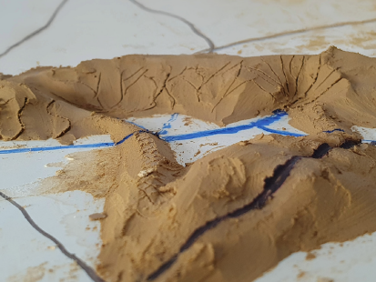
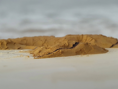
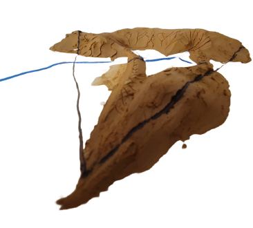
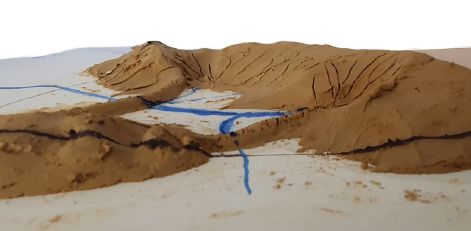
The project was presented through a combination of GIS mapping, hand drawing, and physical terrain modelling in clay and sand, reflecting a broader working method that moves between digital and analogue representation to test ideas at different scales and resolutions.